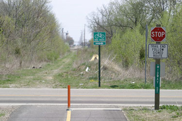
to London
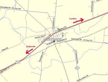 |
The South
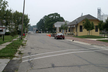
Charleston trailhead is located in the general vicinity of 150 East
Mound Street. |
| Here as you leave the trailhead area, you will
proceed east on Mound Street, following the historic era street lights. Ohio to Erie Trail signs have been posted along these street lights, with arrows indicating the correct direction to turn. |
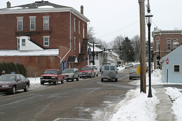 |
At
this intersection, riders will proceed straight on Mound Street through
the traffic light at Chillicothe Street. |
| This photo illustrates the spacing of the street lights on Mound Street that clearly identify the bike route. At the stop sign ahead, riders will turn right onto Church Street. | 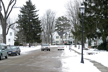 |
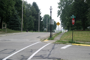 |
After turning right onto Church Street, you have almost reached the continuation of the paved path. |
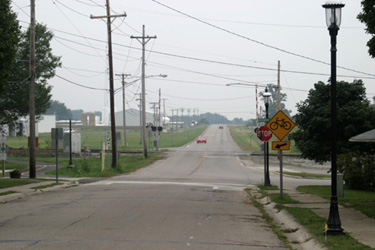
| After a short .5 mile ride from the
trailhead, you have reached the intersection of Woodward Street.
Church Street ends and St Rt 41 begins. |
 |
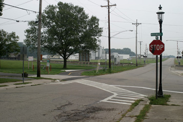 |
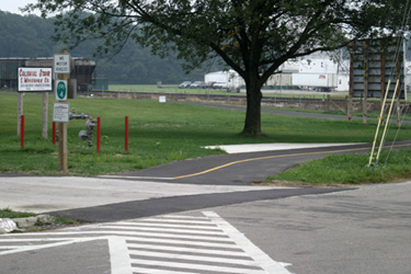
Follow the crosswalk to the left into the
driveway of Colonial Stair and Woodworking. |
| Here the paved bike path continues
toward London. |
 |
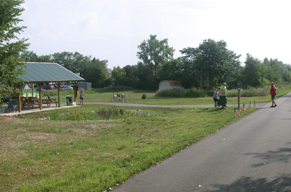 |
After 10 miles, you will reach the London
Trailhead. |
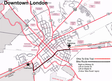 |
Bike Route Summary: (1.5 miles) Turn right onto Midway Street (St Rt 38). Turn left on Center Street (St Rt 665). Turn left on Maple Street. (Click here for a larger version of the map.) |
